
Residence Hall Trails:
Pomeroy/Cazenove Trail |
Bates Trail |
Tower Court Trail |
Stone-Davis Trail
Academic Building Trails:
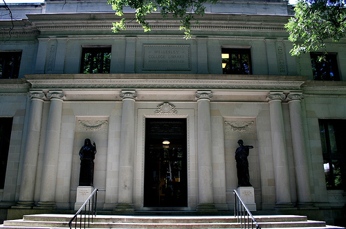
Clapp Libary Trail |
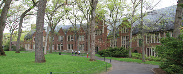
Green Hall Trail |
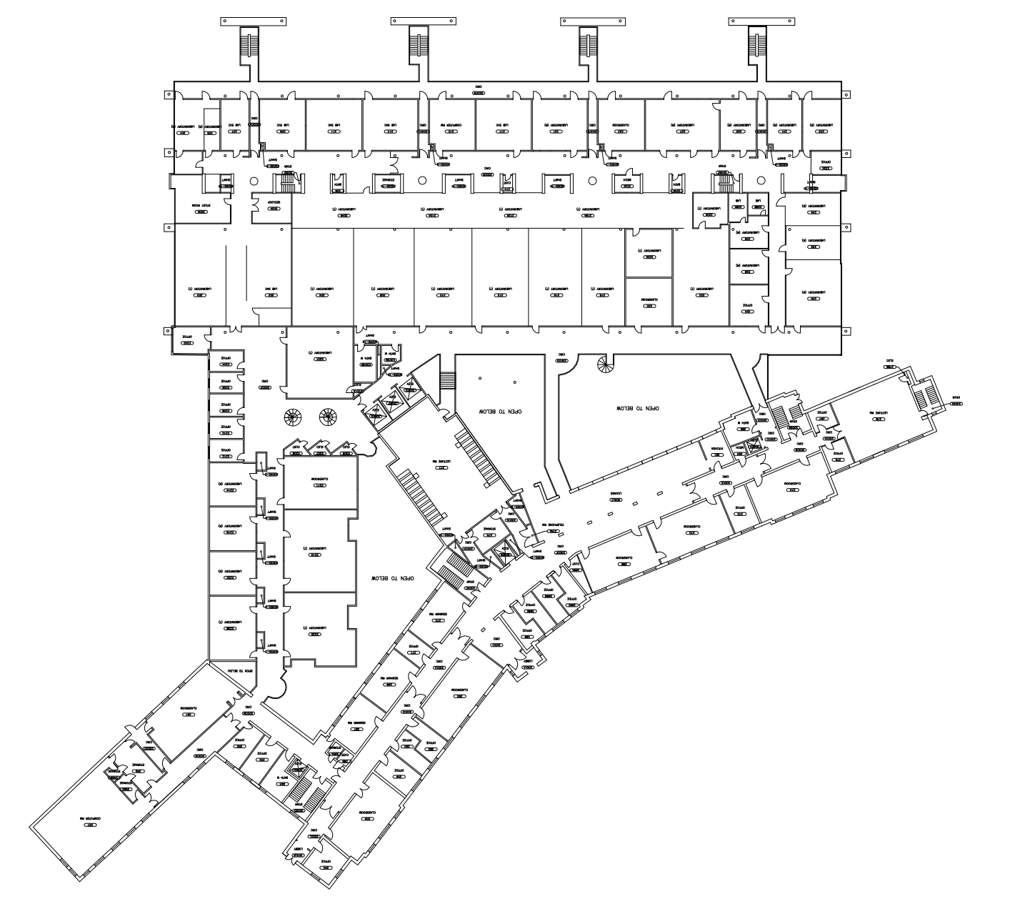
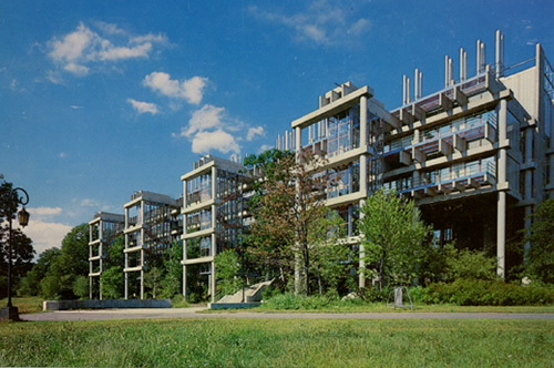
Science Center Trail
Outdoor Trails:
Trail A |
Trail B |
Trail C |
Trail D |
Trail E
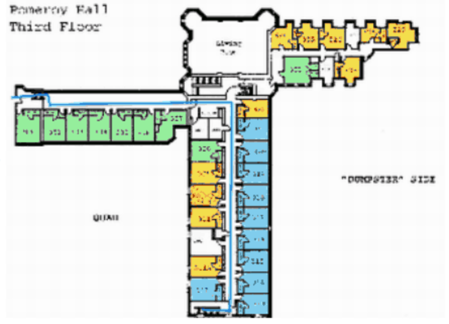
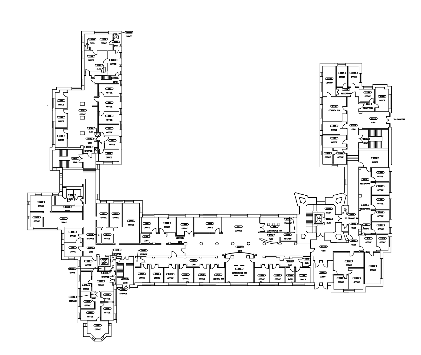
This trail loops through the second and third floors of the Cazenove and Pomeroy Residence Halls. Begin in the corner of the third floor of Pom near room 313 and proceed down the hallway and across the link into Cazenove. Turn the corner and go down the stairs at the end of the hall, then retrace your steps across the link on the second floor.
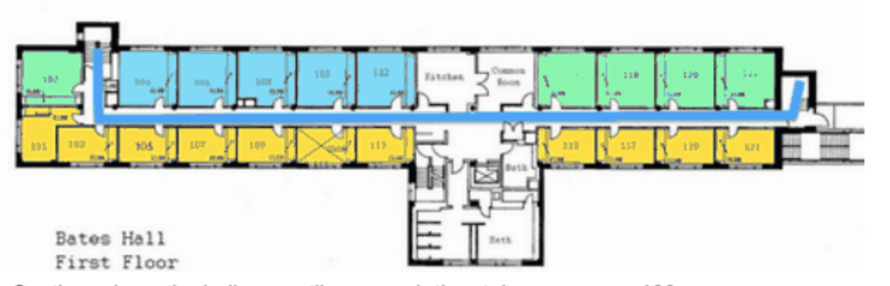
This trail traverses the 1st through 4th floors of the Bates Residence Hall. It begins by the first floor stairs near room 102 and continues down the hallway to the stairs on the other side. Go up the stairs and traverse the second floor hallway to the original staircase. There are several flights of stairs to be climbed.
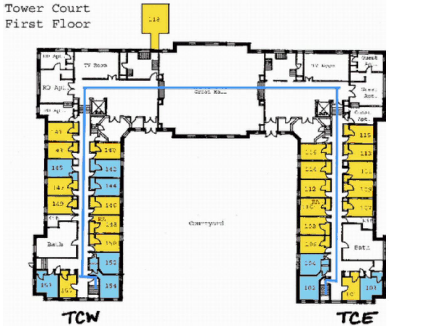
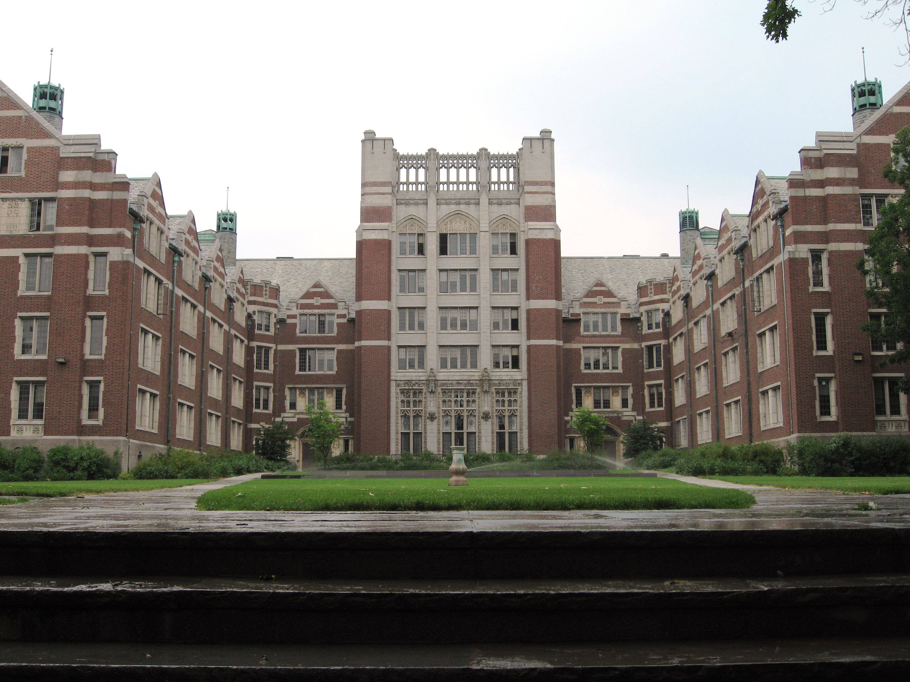
This trail traverses the 1st through 5th floors of the Tower Court Residence Hall. It begins in the West corner of the 1st floor near room 154. Walk down the hall, through the Great Hall, and down the mirroring hallway. Go up the stairs in the corner and repeat this pattern on each of the next floors until you have walked the fifth floor.
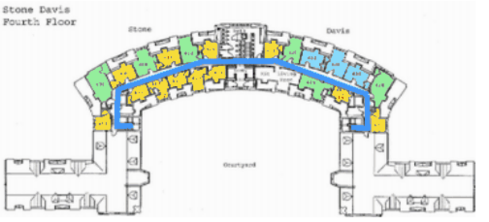
This trail traverses the 4th through Ground floors of the Stone-Davis residence hall. It begins on the 4th floor near room 430. Walk the length of the hallway and down the stairs. Repeat on every floor until you reach the groundfloor, then walk the length of that hallway.

Using only staircase 7 (back right corner) weave in and out of
book stacks on floors 1, 3, and 4. Trail starts and finishes at
staircase 7 on floor 2 (main floor).
Note: This trail is best completed solo or in a single file line.
All floors follow the same route. Use the main staircase to the 1st floor and walk the hallway 4 times (down and back twice). Use stairs to 2nd floor and walk the hallway 4 times, then proceed into Founders and follow signs that lead up the stairs and back into Green Hall and walk this hallway 4 times. Follow the stairs up to the 4th floor and walk the hallway 4 times. On the 4th floor, follow the fitness signs in the conference room. Reverse directions back to start.
All floors follow the same basic route. Begin at the central
staircase and continuing down the hallway, across the bridge,
back up the hallway and back to the main stairs. Complete this
route on all floors.
Note:
1.This trail is posted on the poster on the column at the top of the
stairs that lead down into the science library from the first floor.
2. Various optional physical exercises are posted along the route.
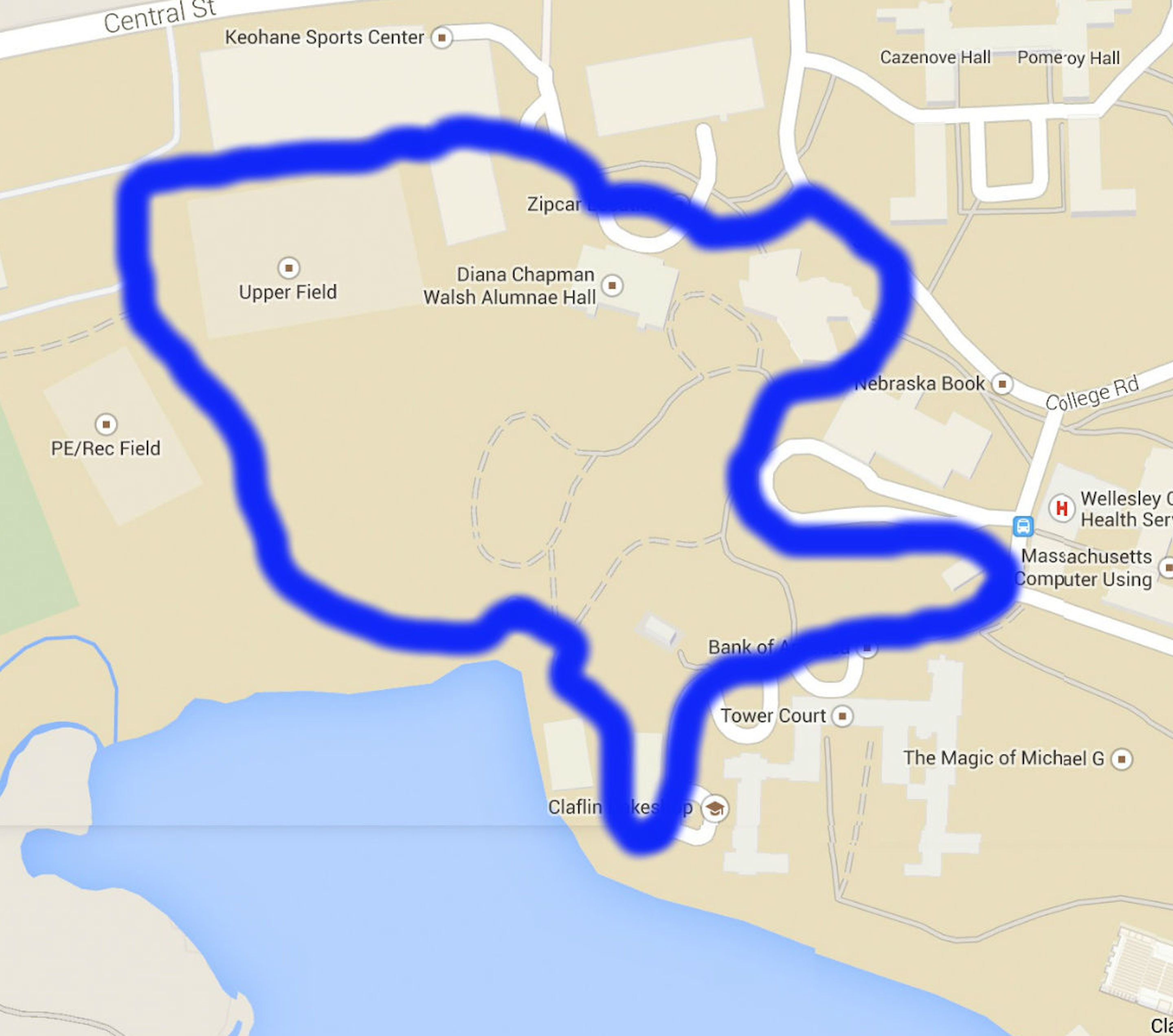
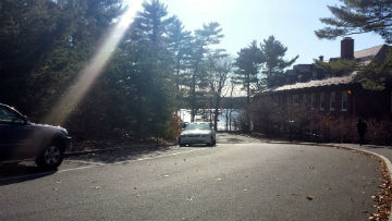
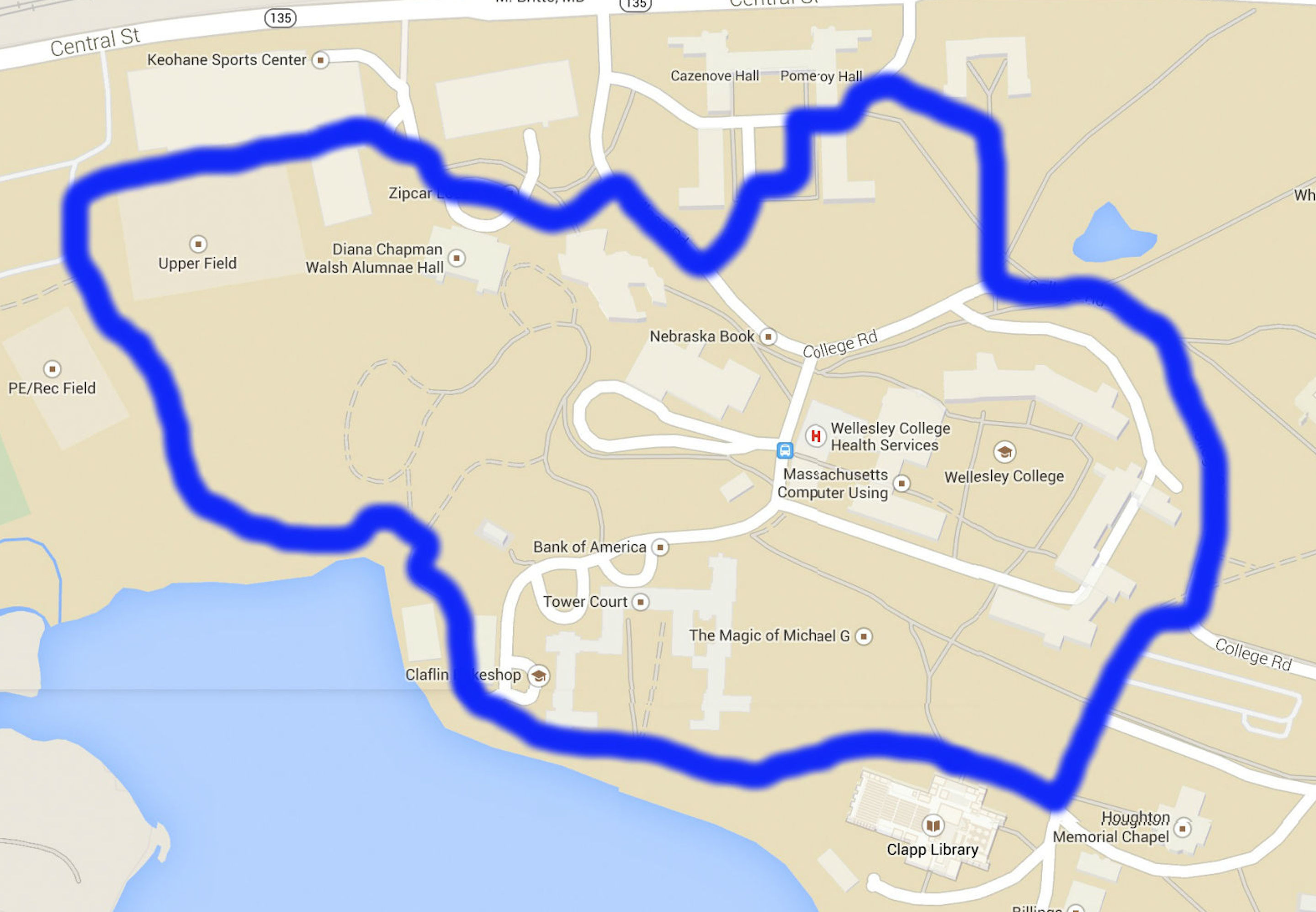
This trail will tour you through West Campus at Wellesley. The path will take you around the Campus Center, Alumnae Hall, the Keohane Sports Center, the upper athletic fields, Lake Waban and finally the Davis Museum. The trail can be started from any of these locations and includes hills. If starting from the campus center, go towards the KSC and past the upper field by the field house. Turn just before the upper practice field and proceed down the hill to the boathouse. Wind around Lake House and up the street past Tower. Take the delivery road to the back of the Campus Center and take the path to the right around the Campus Center back to where you started.
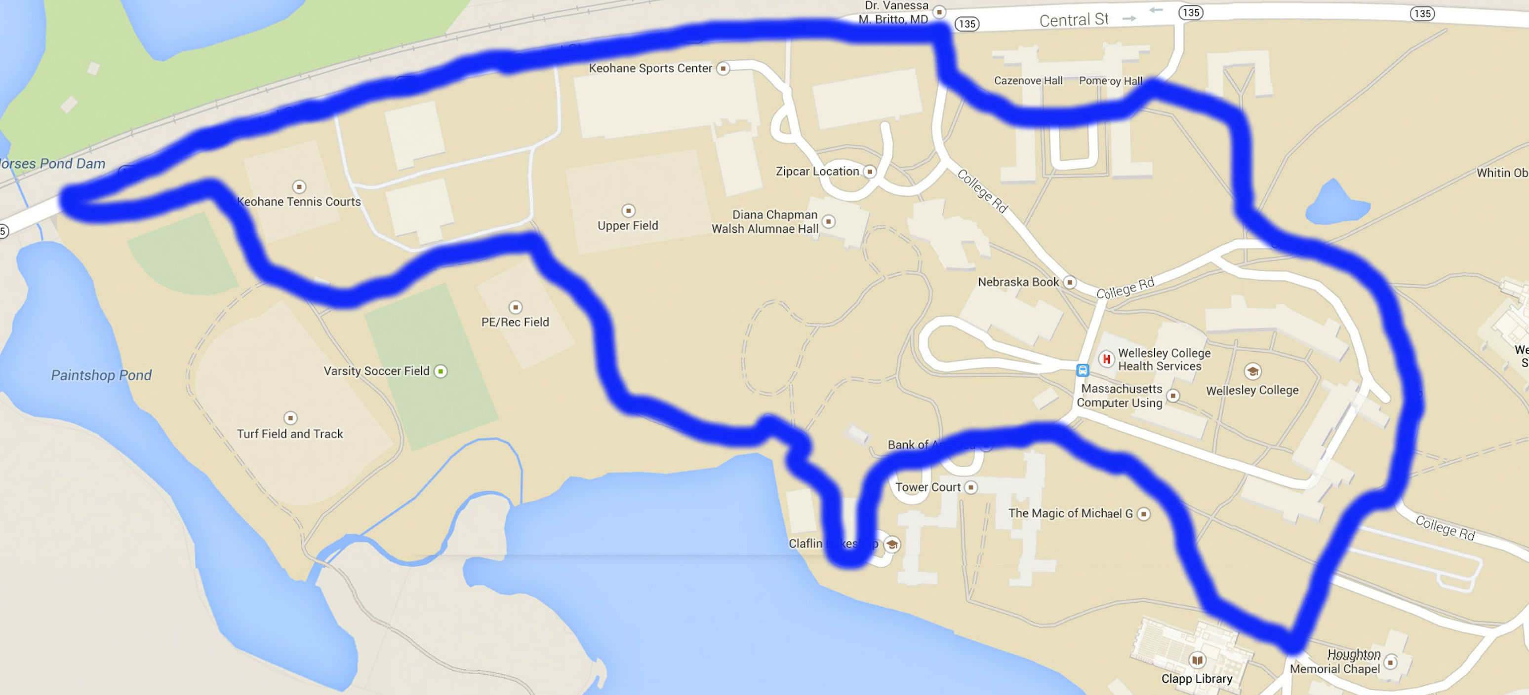
This trail takes you down the outer edge of the campus down Central Street, then by the athletic fields and the dorms of Tower Court, around the Academic Quad and through the Residential Quad back to the main entrance. The trail can be started from anywhere and includes hills. If starting on Central Street, go west down the road and enter campus via the footpath by the softball field. Wind up past the athletic fields and turn right just past the smaller practice field. Go down the hill past the boathouse and wind around Lake House and up the road past Tower Court. Continue around the academic quad by the Clapp Library. Wrap around the academic quad, go up the stairs by Munger Meadow, and continue throug hthe residential quad back to College Road.
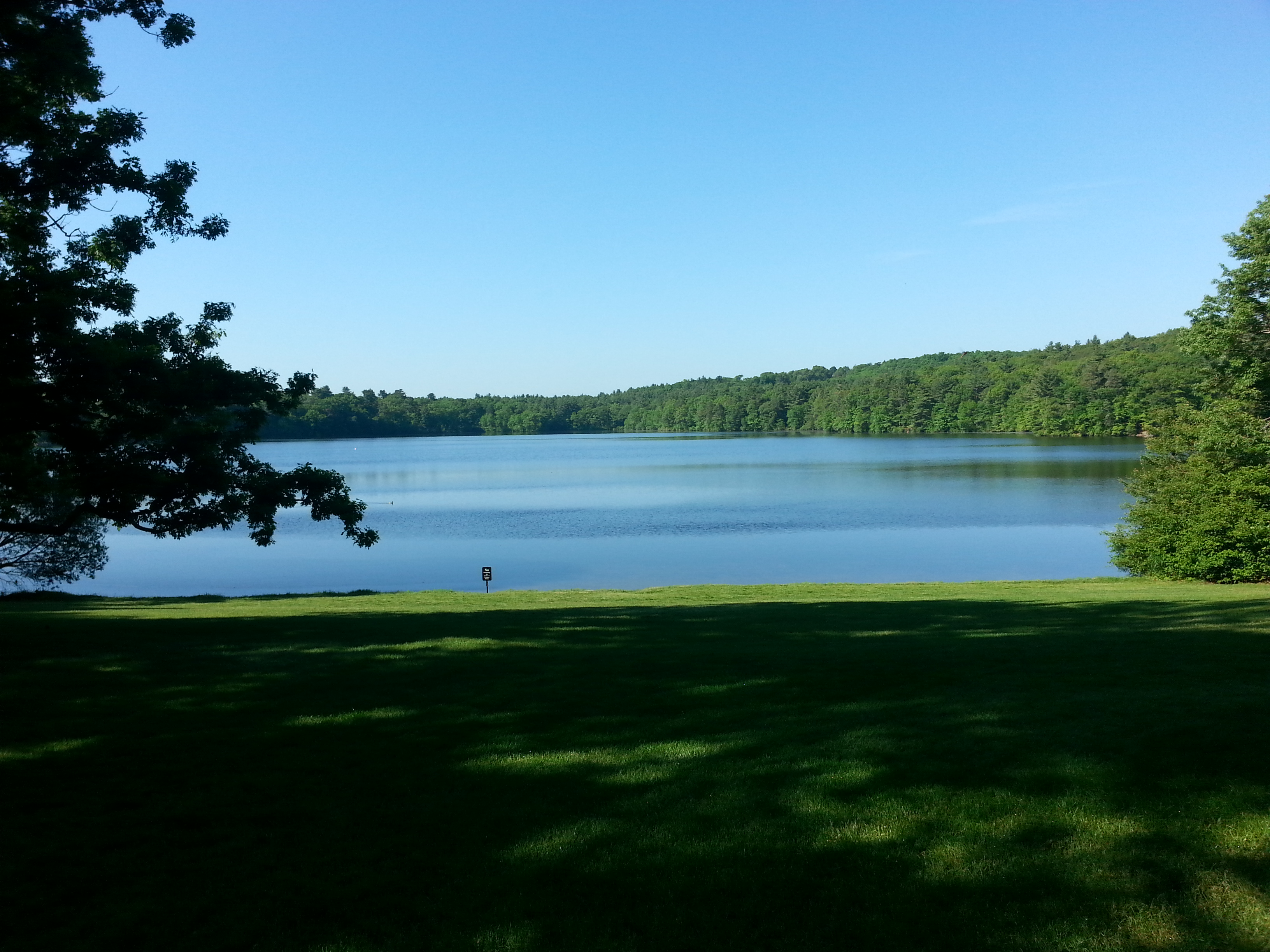
This trail will take you on another route throughout the entire campus. The path will take you through Clapp Library, Lake Waban, the athletic fields, Keohane Sports Center, Campus Center, the residential quad, and the Science Center. The trail includes some hills. If beginning at the Campus Center, proceed towards the KSC and down towards the athletic fields. Turn left before the small practice field and go down the hill towards the boathouse. Walk towards Lake House and take the lower trail, keeping Tower Court to your left. Continue in front of the library, turning left through Founder's Parking Lot and wrapping around the academic quad, then go up the ramp towards Munger and go to the residential quad. Take the path down the hill to the main entrance of the Campus Center.
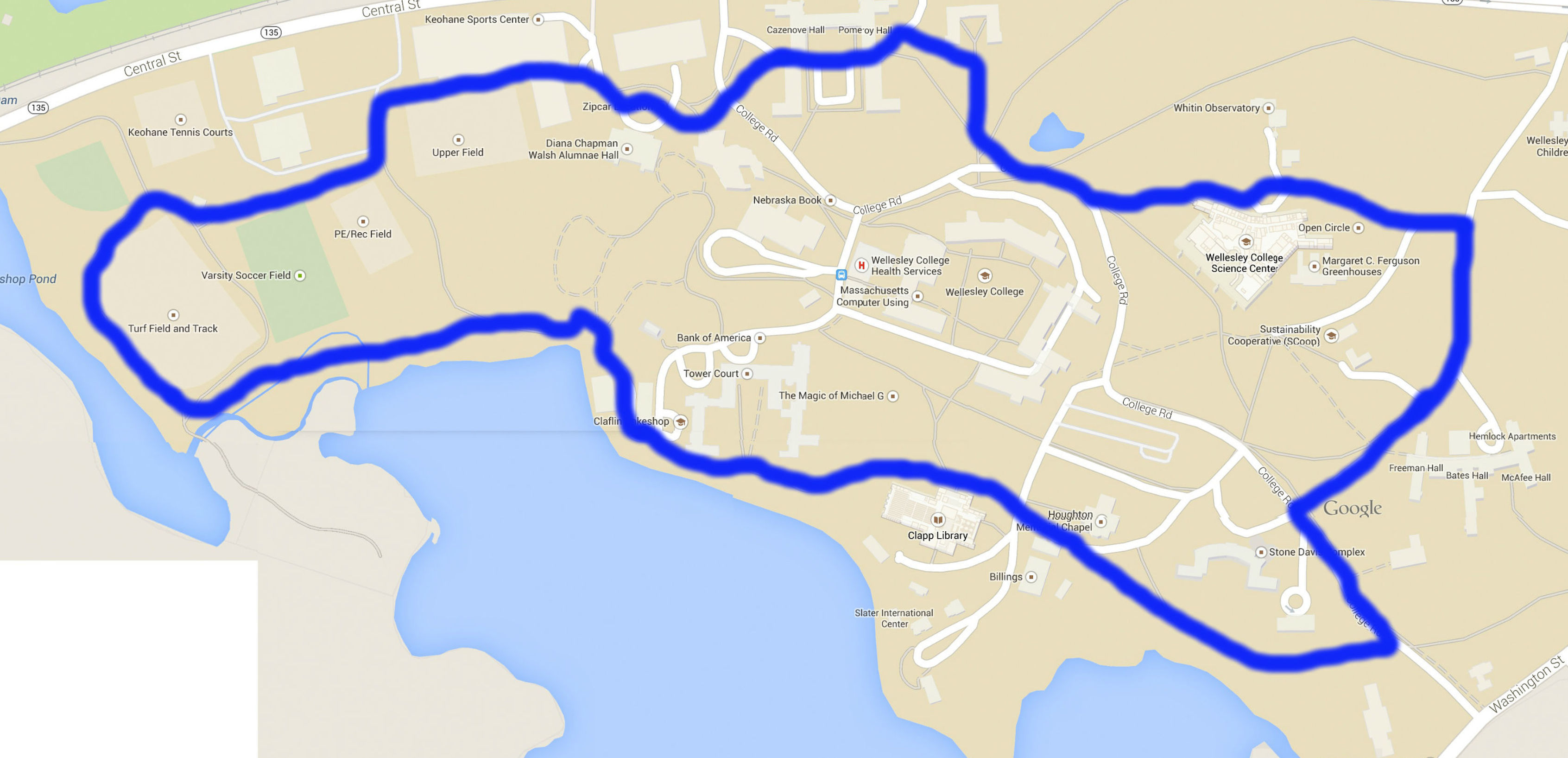
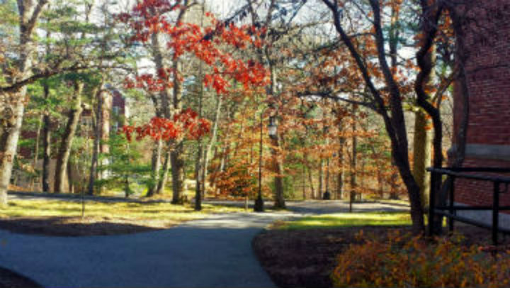
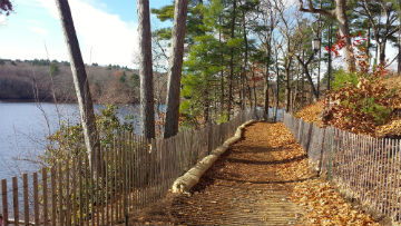
This scenic trail will take you through all of Wellesley's campus, passing Lake Waban, the Keohane Sports Center, the academic and residential quad, Houghton Chapel and the Clapp Library. The trail can be started from any of these locations, and includes hill and stairs. If starting from the Campus Center, walk towards the KSC and down past the athletic fields. Wrap around the turf field and take the trail over the bridge, turning left onto the wooden panel bridge before the path turns to dirt. Follow that path down towards the boathouse and wind around Lake House, keeping to the path closest to the lake. Continue down the path in front of Clapp Library, then pass to the right of Houghton Chapel and continue behind Stone-Davis. Turn left on College Road and then right towards East Campus. Follow the road around to the main entrance of the science center and go down the stairs back to College Road. Go up the ramp towards Munger and go through the quad, and then take the path down the hill to the main entrance of the Campus Center.
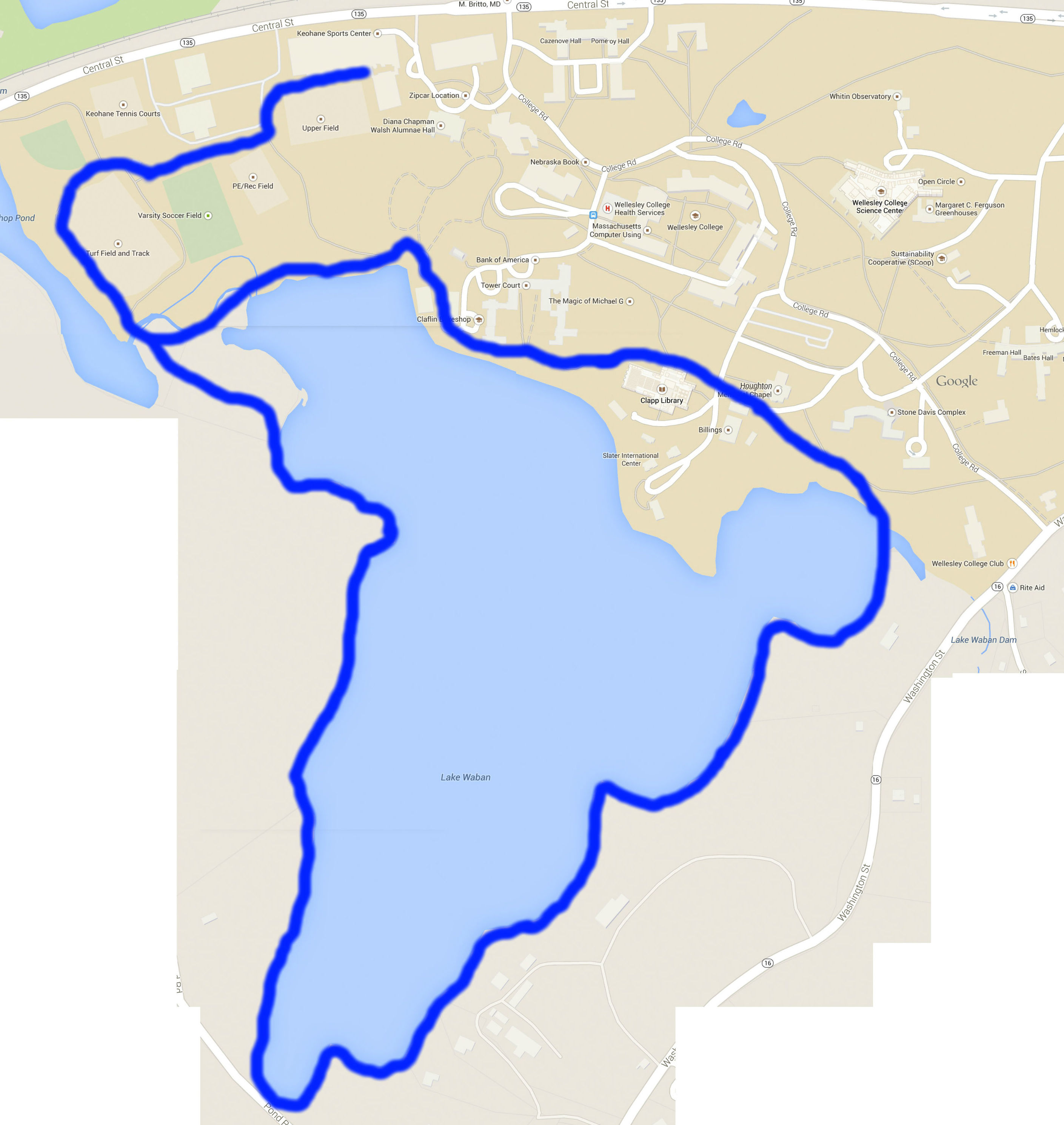
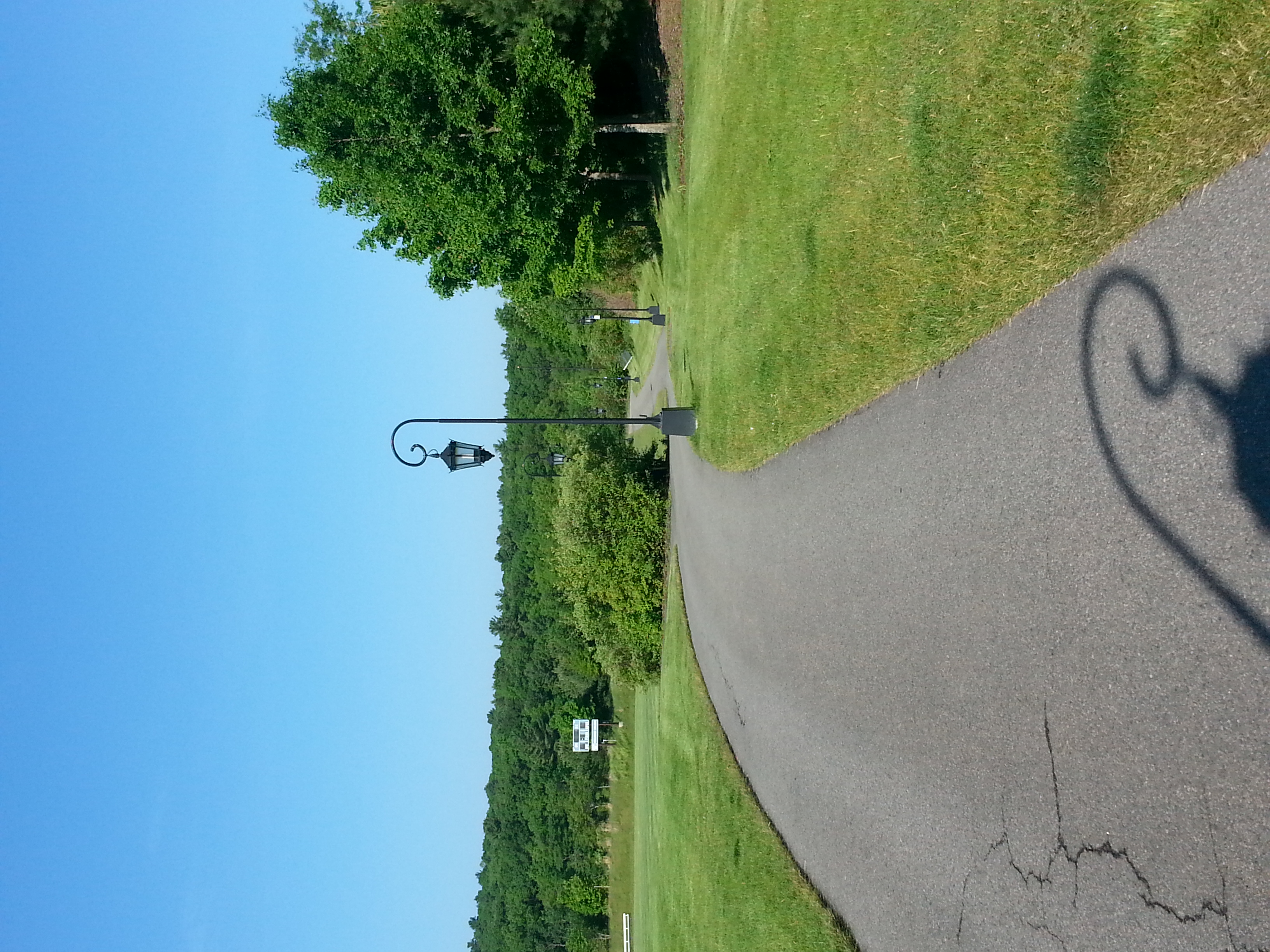
This trail takes you around the entirety of Lake Waban, by the president's house, back through campus by Houghton Chapel and Clapp Library and past the athletic complexes. The trail begins and ends at the Keohane Sports Center and contains rough and occasionally hilly terrain. Beginning at the KSC, proceed down past the athletic fields and take the path around the turf field. Follow the trail as it turns to dirt and proceed around the lake. Stay left upon approaching the main campus - you will cross a stone bridge and Stone-Davis will be visible ahead. Continue on the path, keeping Stone-Davis to your right, and take the path behind Houghton Chapel and in front of Clapp Library. Proceed past Tower Court, keeping the dorm on your right, and wrap around Lake House and past the boathouse. Follow the trail, keeping left at the fork, and cross the wooden plank bridge. Turn right at the fork and follow the path back around the turf field and back up to the KSC.